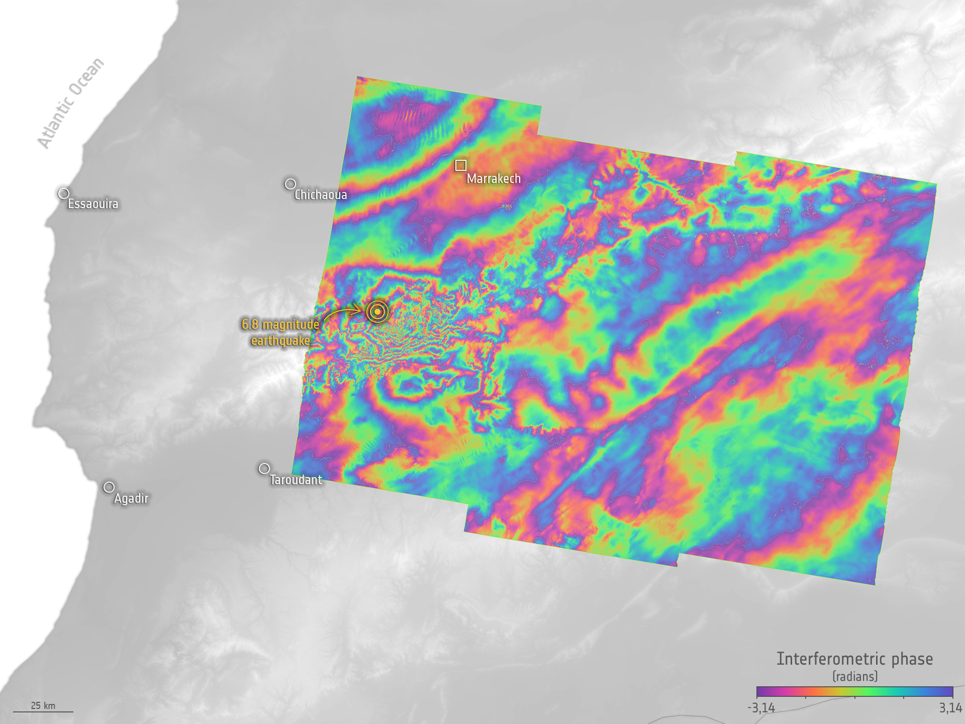
Reconstructing Morocco: A Fusion of Sky and Space
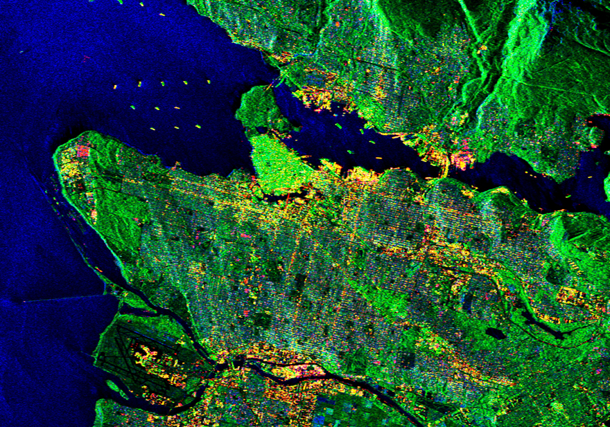
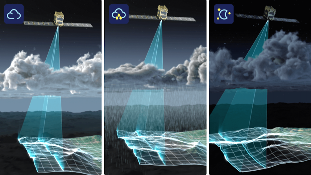
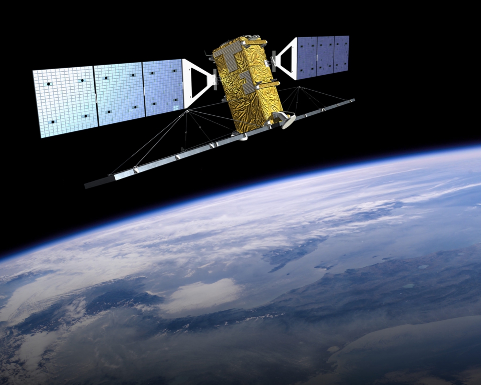
SAR Earthquake Visualization is a digital art platform dedicated to showcasing the transformations the Earth undergoes during seismic events. Utilizing ERA’s Sentinel-1 satellite SAR imagery, combined with close, detailed vigilance of drones, this website captures the impact and the aftermath of the 2023 Moroccan earthquake paving the path for reconstruction.
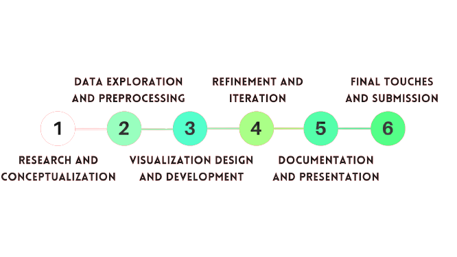
SOLUTION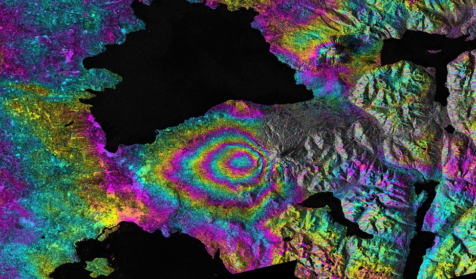
.png)
.png)
.png)
.png)
.png)